#The following article is a guestpost.
Australia’s Big Lap Embraces Bucket Living at Its Best!
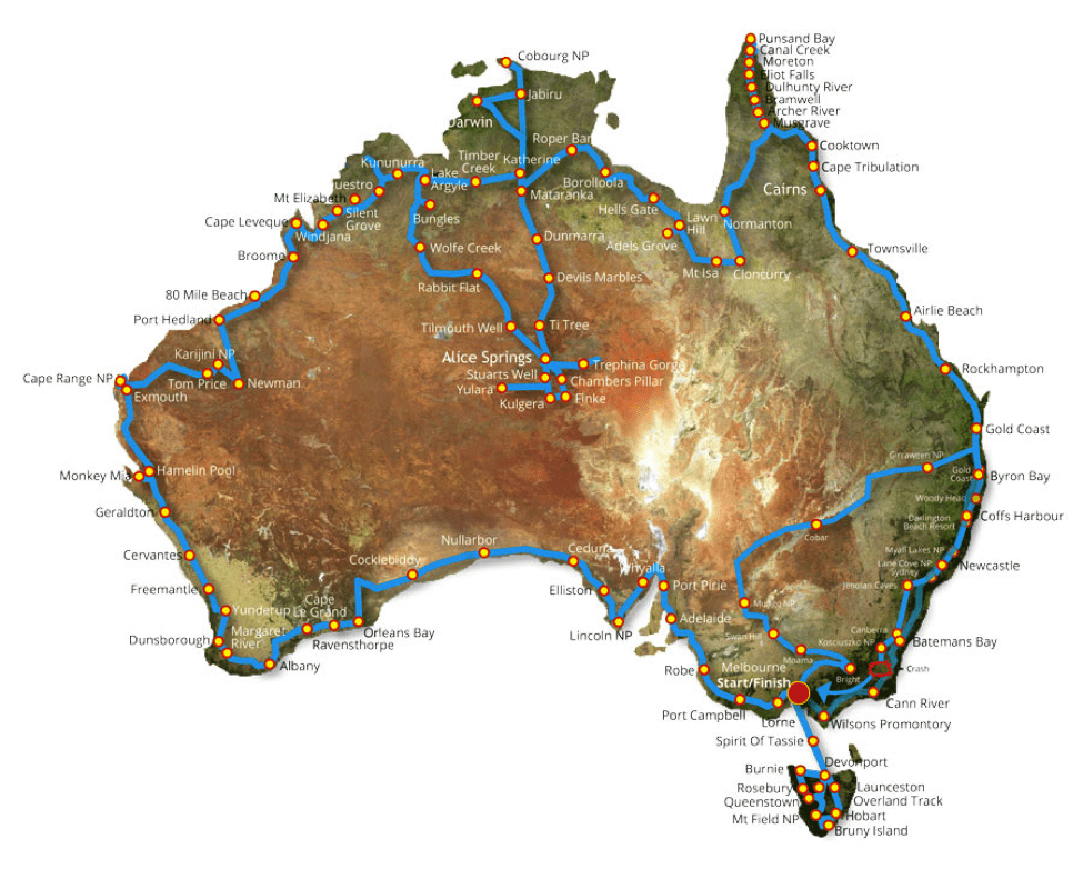
What is Australia’s Big Lap? It is the ultimate in bucket living because it is a road trip all around Australia. It has long been a topic of discussion for travellers and campers in Australia and is the ultimate road trip, which can consists of as many stops and locations as you want; you can also choose how long you stay in each place. It can be a 3 month adventure or a 3 year journey; it’s all up to you! The Big Lap was made more famous by a family who published a documentary on their 2 year journey travelling the Big Lap. The Big Lap itinerary sticks mostly to the coastline of the country. You can pretty much start anywhere, the map above shows the route taken by the Baile family during their documentary and they started in Melbourne in the state of Victoria.

The Big Lap encompasses passing through all 8 states in Australia and visiting the northernmost, easternmost, southernmost, and westernmost points of mainland Australia; plus the highest peak, and the centre of Australia. If you decide to hire a car (or multiple cars) for the Big Lap, you can work with Budget Car Rental with locations all throughout Australia. They can assist you with choosing the right vehicle for each state and each region and provide you with local driving tips and safety information. The 8 states of Australia include:
- Victoria
- New South Wales
- Australian Capital Territory (ACT)
- Queensland
- South Australia
- Northern Territory
- Western Australia
- Tasmania
Southernmost Point in Australia – Wilson’s Promontory
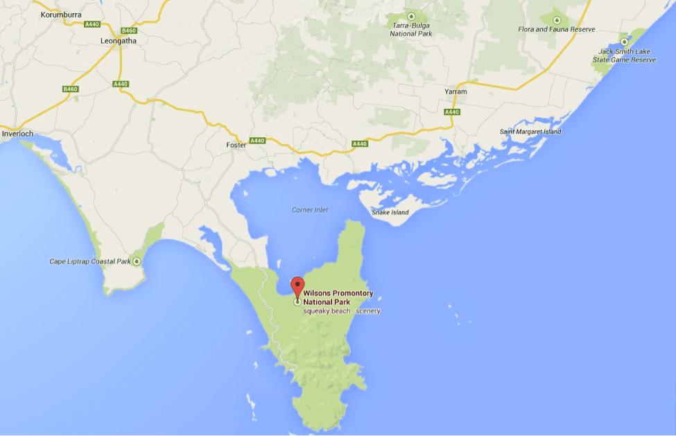
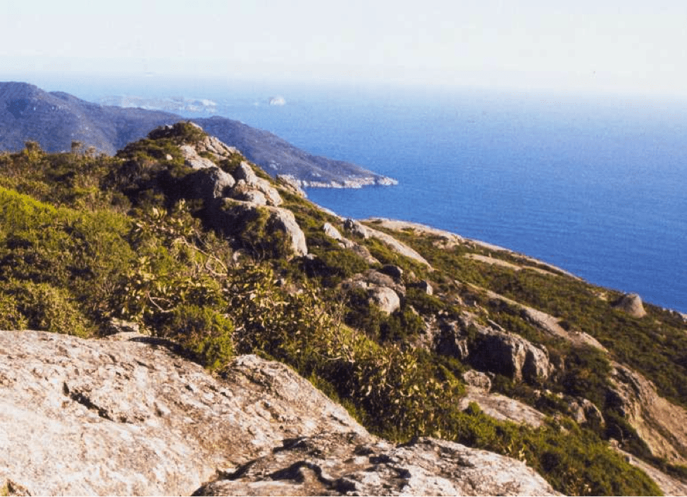
Wilson’s Promontory is the southernmost point in mainland Australia, and it is also encompassed by Wilson’s Promontory National Park. National Parks are protected lands and it is an honour to be able to see the animals, plants, and landscape that are all being prolonged and protected here. Wilson’s Promontory is about a 2.5 hour drive to the southeast of Melbourne. If you start out in Melbourne, you can choose to make this your first stop, your last stop, or even a stepping stone to get to Tasmania, the island state of Australia just to the south of Wilson’s Promontory. What can you do while visiting the southernmost point in Australia? Explore some of the varied terrains of untouched wilderness including rainforest, beaches, mountains, and plenty of wildlife. The national park is called “The Prom” by locals and is 50,000 hectares of land on the southernmost tip of the coast on Australia’s mainland. Camping, hiking the trails, going on nature walks, and snorkelling in the Bass Strait are some of the top things to do in Wilsons Promontory.
Westernmost Point in Australia – Steep Point
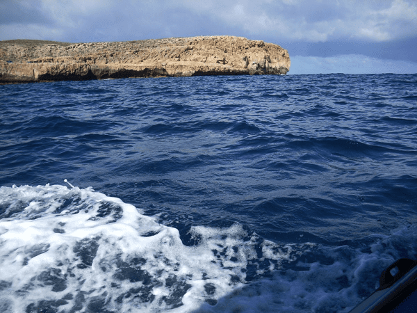
Steep Point is the westernmost point in mainland Australia. Steep Point is in Shark Bay on the northern coast of Western Australia. Obviously, there are plenty of points of interest and places to stop along the way from Victoria. A few points of interest worth considering include taking the Great Ocean Drive to see the 12 Apostles in and then onto Adelaide, the capital city in South Australia. After driving through South Australia and into Western Australia, the capital city is Perth. Nearby Perth is the Pinnacles and Nambung National Park. After you turn up the Western Australia coastline, Kalbarri National Park is on the way north to Shark Bay. Shark Bay is a protected World Heritage Site. Similarly, the waters of the bay are protected from strong waves and predators so a wide variety of marine life can be found there. Many of the ocean creatures that call Shark Bay home are not found anywhere else in the world. As you can imagine, exploring the abundance of marine life unique to the area is one of the main attractions. Snorkelling, SCUBA diving, boating, and all types of water adventures are available. Other things to do while in the area include feeding the dolphins at the Monkey Mia resort, exploring marine biodiversity without getting wet at the Ocean Park Oceanarium, and learning about the culture and history of the region from the Nhanda and Malgana people who are the original inhabitants of Shark Bay and surrounds.
The Centre of Australia – Lambert Centre
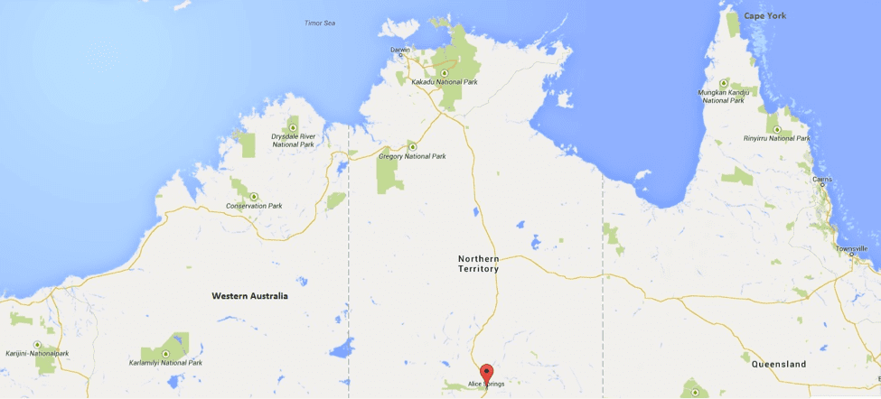
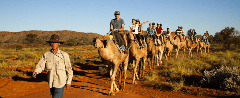
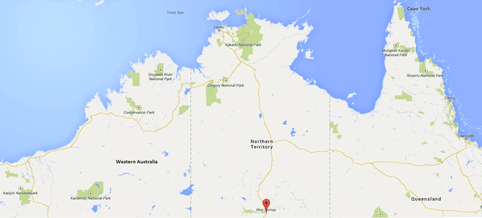
The geographical centre of Australia is about 200 km south of Alice Springs, the capital city of Australia’s Northern Territory. From the west coast of Western Australia, as you make your way into the Northern Territory, it is barren and remote wilderness; and most of the terrain is desert. One of the destinations you should consider is Kakadu National Park in the Northern Territory; it is Australia’s largest national park with 6 regions and 6 seasonal changes from the wet season to the very dry season. From there, you can head inland to Alice Springs, the city in the desert and the closest major city to the geographical centre of Australia, called the Lambert Centre. While in the Outback, you can go on a camel riding adventure, visit the Olive Pink Botanical Gardens to learn about the flowers and flora that defy nature and grow in the dry desert. Other places to visit near Alice Springs and the Lambert Centre include Finke Gorge National Park, Kings Canyon, and Rainbow Valley.
The Northernmost Point in Australia – Cape York
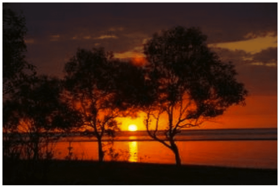

The northernmost point of continental Australia is Cape York in the far north of Queensland. Also a national park, Cape York is still an undiscovered and remote region. It is the site of some of the latest species discovered. Three new animal species were found by a National Geographic expedition in 2013 including the leaf-tail gecko, a golden-coloured skink, and a boulder-dwelling frog. Cape York is rich in Aboriginal culture and Australian pioneer history. While visiting Cape York, some of the things you can do include: bird watching, camping, canoeing, deep sea fishing, snorkelling and SCUBA diving. Cape York is the very top of the Great Barrier Reef to the east in the Coral Sea. As you make your way down Australia’s east coast, the Great Barrier Reef runs outside the east coast and inland is rainforests and mountain ranges. The possibilities are endless and there is always something for every type of explorer or traveller. Along the way you might stop in Cairns, one of the most popular port cities for excursions out to the reef. Also consider visiting the Daintree Rainforest, which is the largest and oldest subtropical rainforest in the world or the Kuranda Rainforest, which has a famous train ride or sky rail tour.
Easternmost Point of Australia – Cape Byron
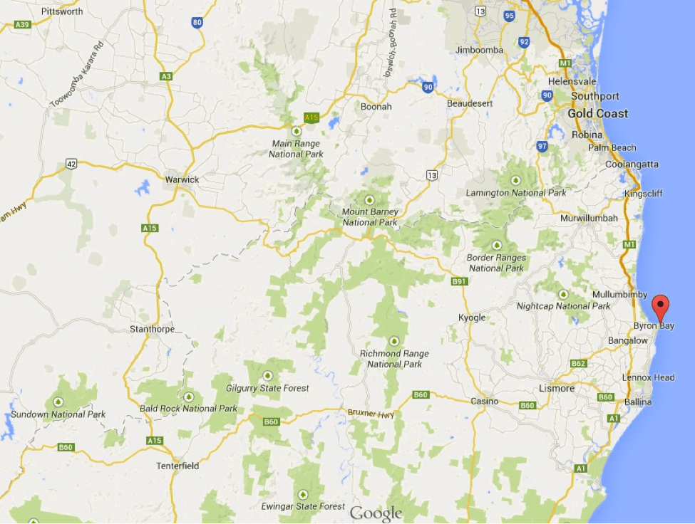
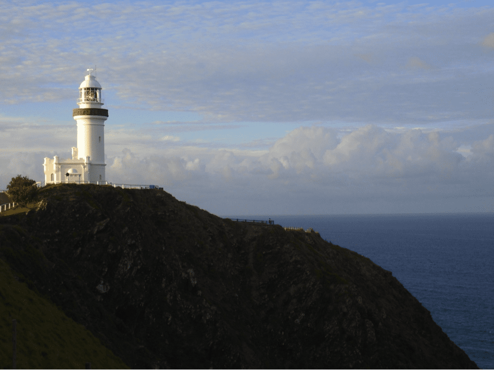
As you drive down the east coast through Queensland, the easternmost point along Australia’s continental east coast is Cape Byron. It is on the northern coast of New South Wales. Don’t forget that this is the easternmost point on the mainland, but that does not mean you shouldn’t venture out to some of the reef islands for a brief stay on the actual Great Barrier Reef. The Byron Bay Lighthouse is the biggest and most well-known feature in Cape Byron and Byron Bay, which is the namesake of the city and the bay on the cape. While in Byron Bay, take a dip in the ocean and relax on the white sand beaches.
Highest Point in Australia – Mt. Koscuiszko

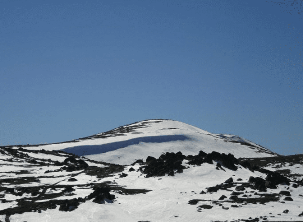
Mt. Koscuiszko is the highest peak in Australia. When you think of Australian travel and holiday, the first things that come to mind are probably the sand and surf. However, there are several mountain ranges in Australia. The Snowy Mountains are home to Mt. Koscuiszko and it is a ski lovers’ paradise here during the winter time with three major ski resort/lodges. Jindabyne is the city at the foothills of the Snowy Mountains and it is a little less than 500 km west of Sydney in New South Wales. Mount Koscuiszko tops in addition to skiing, snowboarding, and the like, take a crack at horseback riding in Jindabyne or explore the Yarrongobilly Caves.